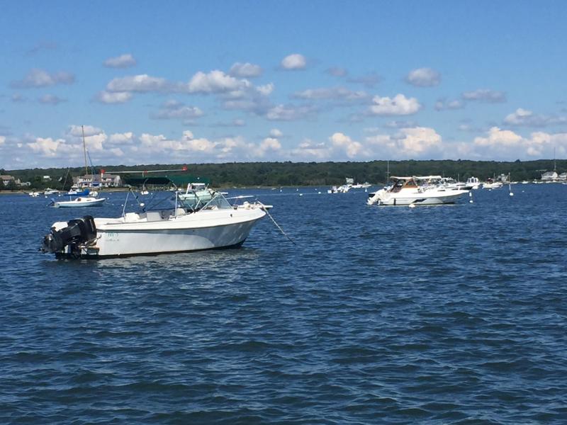
How to prepare your boat for Tropical Storm Hermine
Since hitting Florida's panhandle, Hermine has weakened from a hurricane to a tropical storm. As boaters take off for the Labor Day weekend, Dartmouth Harbormaster Steve Melo is busy keeping his eye on the storm's progress up the coast.
Melo said that if the forecast doesn't lighten, he and his team will head out to make sure boats are tied up properly, dinghy racks are secured, and that chafing gear is on mooring lines to protect lines from rubbing against docks and boats. He said they will also be looking for mooring lines that look weak or tired from summer use.
"We don't want to ring any false alarms," said Melo. "If you have any questions, take the boat home. The season's almost over anyways."
If you're determined to enjoy that last full weekend of summer, there are precautions you should take, said Melo.
"Make sure trailers are ready," he said. If you have to move your boat out of the water in a hurry, you don't want to wait until the last minute when conditions are too dangerous or when everyone's trying to get to their boats.
At what point should you take your boat out of the water?
"For a tropical storm, if you can, you should," said Melo. "The safest place for [your boat] is away from the water," he said. He also asked that people take their dinghies home too in the event of a storm.
A tropical storm—classified by sustained winds moving 39-73 miles per hour—is working its way up the coast.
A hurricane is classified by sustained winds 74 mph or faster. Hurricane Bob hit Rhode Island and southeastern Massachusetts 25 years ago with winds upward of 100 mph, said Melo, and famously crashed boats into and over the Padanaram Causeway.
A storm with circular, sustained wind flow below 39 mph is a tropical depression.
If you plan on leaving your boat in the water, Melo suggested tying down anything that can be caught in the winds and add strain to the boat and mooring, including dodgers, sail covers, sails, and towing tubes.
"If the storm passes north of us, it's not that bad. We're protected by the land," Melo said. However, if the storm passes southerly, the harbor is exposed.
"It really is a waiting game at this point," said Melo.
At the time of publication, the storm is predicted to hang around New Jersey between Sunday and Tuesday, and hit the south coast of Massachusetts around Tuesday/Wednesday, said Melo. That doesn't mean we have four days to prepare, he added.
"There will be rain, wind, and serious surf conditions," he said, explaining that a stagnant storm will still produce strong winds and coastal erosion. The waves at Horseneck Beach in Westport will be huge even though the storm is 200-300 miles south, said Melo. "It'll just be sitting out at sea, stirring up the ocean."
Ultimately, Melo said "be safe." Never ride out a storm in a boat, and don't come to the harbor to see what's going on, he said.
Monitor the National Hurricane Center for more information, said Melo. He also puts updates on the harbormaster's website.


