A walk back in time at Destruction Brook Woods
On September 19, nature lovers and history enthusiasts had an opportunity to take a walk through the woods — and back in time.
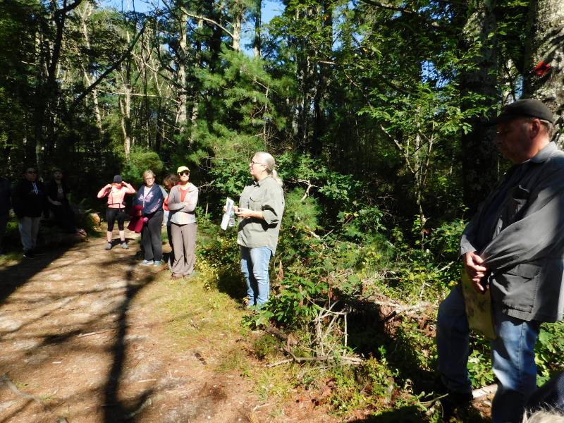
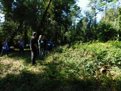
Archaeologist Holly Herbster led about 50 people through Destruction Brook Woods for the Dartmouth Natural Resources Trust’s Archaeology Walk. She explained that people have been living in the Dartmouth area since about 10 to 20 thousand years ago.
Back then, the land would be more like a tundra, and the shoreline would be several miles further out. Nantucket and Martha’s Vineyard would have been part of the mainland.
Then, the glaciers melted and brought the shoreline to roughly where it is today between seven and five thousand years ago.
“The sites from that time are very hard to find because people moved around a lot,” Herbster explained. Native American populations at that time moved closer to the coast during warmer months and inland when it got colder.
Although there hasn’t been much archaeological digging in this area, people have found stone tools including arrowheads, axes, and woodworking tools. Archaeologists rarely dig on sites unless there is a threat of the ground being disturbed through construction or other means.
“The places where you would want to camp today are probably the places where people would want to camp seven thousand years ago,” Herbster said.
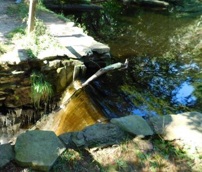
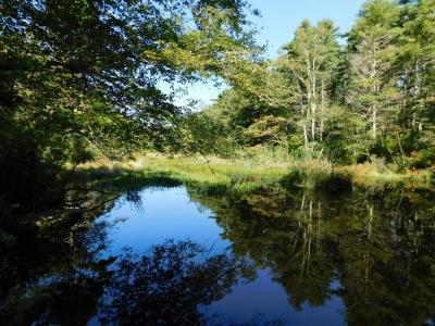
Jeff Graber, one of the founding members of the land trust, gave a history of the dams and spillways along Destruction Brook.
“We know that the original mill, which is still there, was built in the 1690s,” Graber said. “We suppose that these ponds were built at the time.”
Each of the dams has an emergency spillway, meant to relieve pressure on the dam in the case of heavy rain or snow melt that raise the levels of the brook. Graber said that most of the dams were initially made of wood.
The coastlines are an especially good place for archaeologists to work in New England, Herbster explained, because Native American trash pits full of seashells work to neutralize the acidic soil. So within these pits, small animal bones and pottery are sometimes preserved when they would have been lost elsewhere.
Also, the white shell pits are very easy to spot in the fields along the coast.
“Documentation along shorelines is better than in the woods where it’s harder to see,” Herbster said. There are good clues in the woods, though.
If you see a large patch of briars and poison ivy, especially if it’s rectangular, there is a good chance that the soil has been disturbed in some way — perhaps by construction.
Fruit trees are another good indicator of past habitation.
“If you see a cluster of them in the middle of the woods, that’s a dead giveaway that was someone’s orchard,” Herbster said.
Herbster talked about the some of the tools that archaeologists use, like historical maps, low flying planes that measure the surface of the earth, and just walking around looking. She also emphasized the importance of talking to Native Americans about their history, as they can often point archaeologists towards significant sites or explain what has been found.
For example, many of the neat piles of stones in the forest are not property markers as was previously thought, but wayfinding tools placed by Native Americans.
“It’s about looking at the whole of history,” Herbster said.


