DNRT prepares to release detailed accessibility trail maps
You can talk the talk but can you walk the walk?
The Dartmouth Natural Resources Trust might soon have an answer for you as it finishes up the months-long process of evaluating all 40 miles of its trails for accessibility.
When the project is finished, hikers will not only be able to see which trails are more accessible than others, but will be able to view interactive maps with markers detailing obstructions, rough terrain, and points of interest along the trail.
“People will be able to scroll through each trail at each DNRT property,” said DNRT community engagement and land stewardship coordinator Sophia Karr. “So they can see that and then make their choices.”
The project has been spearheaded by Karr, who is in the ninth month of a one year placement with the natural resources trust through TerraCorps, an environmentally-focused affiliate of the AmeriCorps service program.
Karr said she applied to work at DNRT specifically because they listed accessibility evaluations among their highest-priority projects, having worked as an accessibility fellow while in college.
“I looked at that [job listing] and I said ‘holy cow!’” she said.
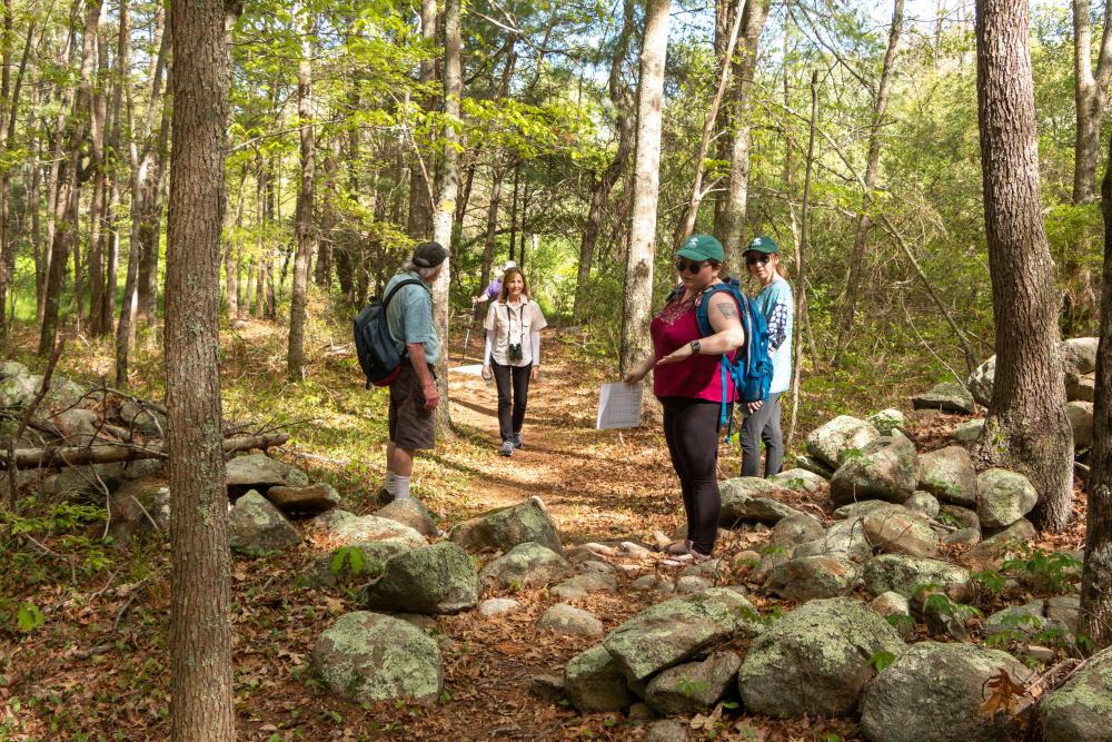
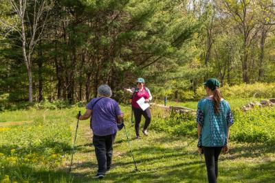
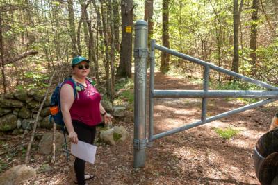
Karr led a presentation of her work at the DNRT’s Wernick Farm preserve, literally walking attendees through the process of evaluating trails.
Karr and Kendra Murray — the DNRT’s development and outreach specialist — took the group down two different trails at the preserve to show the difference between highly accessible trails and those that might pose challenges for people with disabilities.
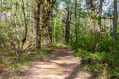
The first path, the red trail, was formerly an access road. It was wide, relatively smooth, and featured little debris and few obstructions.
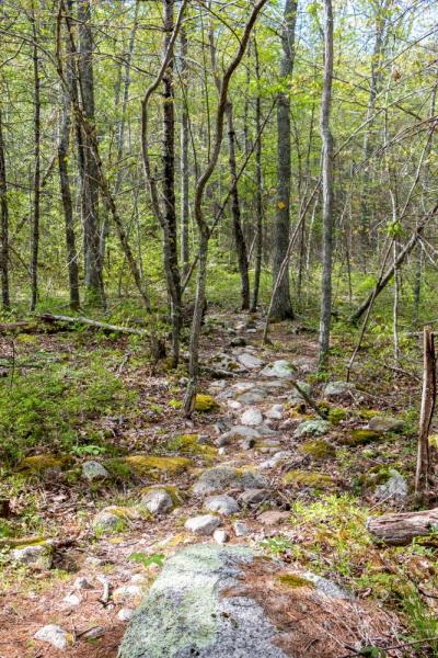
The yellow path, by contrast, was much more narrow, featured stretches of rocky terrain, and was intersected in several places by historic stone walls that could be difficult for some hikers to navigate.
Karr said that during her many evaluation walks, she noted each hazard or obstruction, took a picture of it, and recorded her distance along the trail. She also identified the general characteristics of each trail like its width, length, parking, and popularity.
“Once you start thinking about accessibility you really start noticing [impediments],” she said.
While some preserves opt for a simplistic, “easy-medium-hard” scale, Karr said the DNRT wanted to stay away from such a subjective measurement.
“It’s definitely not enough information,” she said. “What’s easy for me is not going to be easy for my 90-year-old grandma.”
Though Karr finished making her evaluations in April ,the DNRT is still compiling the data and deciding exactly how to present it to the public.
For more information about the DNRT and its trails, visit dnrt.org.


